


191004 Le Verger\Monterfil

chasle
User


Length
24 km

Max alt
112 m

Uphill gradient
377 m
Km-Effort
29 km

Min alt
30 m

Downhill gradient
377 m
Boucle
Yes
Creation date :
2019-10-04 07:09:18.751
Updated on :
2019-10-04 13:34:43.511
6h02
Difficulty : Easy

FREE GPS app for hiking
 SityTrail
IGN / Geographical institutes
SityTrail Plus
The world is yours!
About
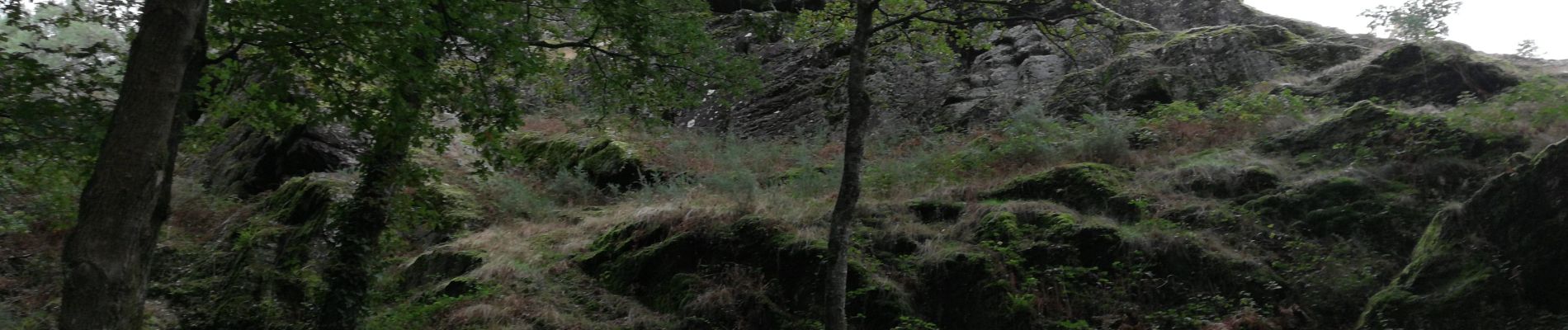
Trail Walking of 24 km to be discovered at Brittany, Ille-et-Vilaine, Le Verger. This trail is proposed by chasle.
Photos


Positioning
Country:
France
Region :
Brittany
Department/Province :
Ille-et-Vilaine
Municipality :
Le Verger
Location:
Unknown
Start:(Dec)
Start:(UTM)
579527 ; 5324629 (30U) N.
Comments